 0
0
 0
0
By Correspondent, Nairobi
The award highlights the role of RCMRD’s EU-funded Regional Centre of Excellence (RCoE) in strengthening Africa’s capacity for data-driven biodiversity conservation and sustainable development.
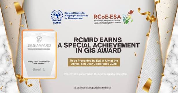
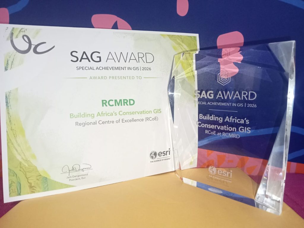
The Regional Centre for Mapping of Resources for Development (RCMRD) has been awarded the prestigious Special Achievement in GIS (SAG) Award by Esri Inc., the world’s leading GIS technology company.
This global recognition places RCMRD among the world’s leading organizations for its transformative use of geospatial technologies to advance biodiversity conservation across Africa through its EU-funded Regional Centre of Excellence (RCoE).
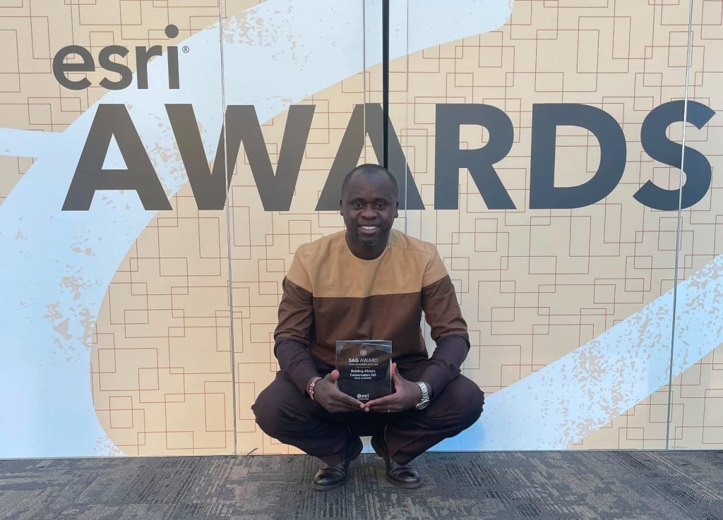
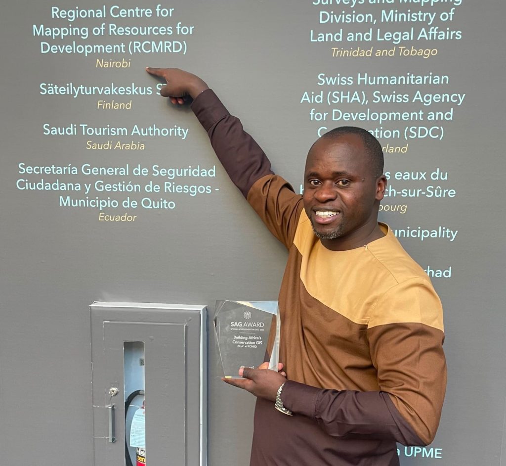
Esri presented the award during its annual Esri User Conference (Esri UC) in San Diego, California, USA. Selected from hundreds of thousands of candidates worldwide, RCMRD was honored for its innovative use of mapping and analytics software and its leadership in biodiversity conservation.
Since 1998, the SAG Award has been given to organizations each year for their application of Geographic Information Systems (GIS) to reveal patterns and trends from data to address pressing challenges across industries.
“Each year, users demonstrate how crucial mapping technology is for our connected world, where almost every critical problem we face has a geographic component,” said Esri president Jack Dangermond. “Recognizing these organizations is an honor since they are using GIS to not only improve their own decision-making but also are innovating through their work to the benefit of our whole geospatial community.”
The award recognises RCoE’s impact in driving geospatial innovation for conservation and sustainable development across biodiversity, forests, and seascape ecosystem management in Eastern and Southern Africa.
It reflects the European Union’s strategic investment in strengthening Africa’s geospatial capabilities and the work of our teams and stakeholders from national planners to conservation practitioners on the ground, turning complex data into actionable insights that protect ecosystems and support livelihoods.
Countries across Eastern and Southern Africa struggle to monitor biodiversity, manage protected areas, and report progress toward global commitments like the KunmingMontreal Global Biodiversity Framework (KM-GBF), not for lack of data but because existing environmental and satellite data is fragmented, inaccessible, and rarely translated into decisions.
This leaves the region unable to credibly track its progress toward conserving 30% of land and sea areas by 2030 without a shared, real-time picture of what’s happening on the ground. RCoE is built to close that gap: through a regional data geoportal, biodiversity maps, policy briefs, and capacity building, spanning data hosting, spatial analysis, interactive tools like the RCoE Map Book Gallery, standardized field data collection, visualization, and automated country profile updates.
Through RCoE, RCMRD has enabled countries to make faster, evidence-based decisions on protected areas, supporting 24 countries across the region in monitoring ecosystems and strengthening the planning and management of protected and conserved areas, directly advancing progress toward KM-GBF Target 3.
“Our work has enhanced environmental monitoring, spatial planning, and evidence-based policy formulation for governments, conservation agencies, and local communities across Eastern and Southern Africa. For nearly five decades, RCMRD has worked to strengthen Africa’s capacity to manage its own natural resources. This award affirms that geospatial innovation, built in partnership with our member states and the European Union, is delivering real impact where it matters most: on the ground, ahead of the 2030 deadline the world has set for itself,” said Dr. Emmanuel Nkurunziza, RCMRD Director General.
The RCoE operates with the support of the European Union under the Africa Regional Centres of Excellence (ARCX) Programme, a continental initiative contributing to the AU-EU Innovation Agenda and aligned with the EU Global Gateway Strategy, where research and innovation serve as both a dedicated priority and a key enabler for other development objectives. ArcX focuses on five interlinked components: water, biodiversity, agroecology, ocean, and climate change, which together support ecosystem health, livelihoods, and long-term environmental sustainability.
A total of 187 organizations from the commercial industry, defense, transportation, nonprofit work, telecommunications, and government sectors were honored. Esri staff annually nominate hundreds of candidates from around the world for consideration, and Danger-mond selects the finalists.


