 0
0
 0
0
By Christophe Uwizeyimana
The Regional Centre for Mapping of Resources for Development (RCMRD) from Kenya has earned international recognition after receiving the 2026 Special Achievement in GIS (SAG) Award from Esri Inc., the global leader in Geographic Information Systems (GIS). The award recognizes RCMRD’s outstanding use of geospatial technology to strengthen biodiversity conservation and sustainable development across Eastern and Southern Africa.
Presented during the Esri User Conference in San Diego, California, the award places RCMRD among a select group of organizations worldwide recognized for using GIS technology to address complex global challenges. Since its establishment in 1998, the SAG Award has celebrated organizations that apply GIS to transform data into practical solutions for decision-making.
The recognition specifically highlights the impact of RCMRD’s Regional Centre of Excellence for Biodiversity, Forests and Seascapes for Eastern and Southern Africa (RCoE-ESA), an initiative funded by the European Union under the Africa Regional Centres of Excellence (ArcX) Programme. The centre supports governments, conservation agencies, and local communities by providing reliable geospatial information that improves environmental monitoring, spatial planning, and biodiversity conservation.
Across Eastern and Southern Africa, many countries face difficulties in monitoring biodiversity, managing protected areas, and reporting progress toward international environmental commitments such as the Kunming–Montreal Global Biodiversity Framework (KM-GBF). While environmental and satellite data are available, they are often fragmented, inaccessible, and rarely translated into practical policy decisions.
RCMRD’s Regional Centre of Excellence was established to bridge this gap by providing a regional geospatial platform that integrates biodiversity maps, policy briefs, standardized field data collection, interactive mapping tools, and automated country profiles. Through these innovations, the Centre has enabled 24 countries across the region to make faster, evidence-based decisions on ecosystem monitoring and protected area management, contributing directly to the global target of conserving 30 percent of the world’s land and sea areas by 2030.
Speaking after receiving the award, Dr. Emmanuel Nkurunziza, Director General of RCMRD, said the recognition reflects nearly five decades of investment in strengthening Africa’s capacity to manage its natural resources through science and technology.
“Our work has enhanced environmental monitoring, spatial planning, and evidence-based policy formulation for governments, conservation agencies and local communities across Eastern and Southern Africa,” he said. “This award confirms that geospatial innovation, developed in partnership with our member states and the European Union, is delivering real impact where it matters most—on the ground.”
The ArcX Programme supports research and innovation in five interconnected areas: biodiversity, water resources, agroecology, oceans, and climate change. The programme contributes to the AU–EU Innovation Agenda and aligns with the European Union’s Global Gateway Strategy, which promotes sustainable development through science, technology, and innovation.
A total of 187 organizations from sectors including government, defense, transportation, telecommunications, nonprofit organizations, and industry were recognized during this year’s Esri User Conference. Finalists were selected from hundreds of thousands of GIS users worldwide.
Established in 1975 under the auspices of the United Nations Economic Commission for Africa (UNECA) and the former Organization of African Unity (OAU), now the African Union (AU), RCMRD currently serves 20 member states in Eastern and Southern Africa, including Rwanda, Kenya, Uganda, Tanzania, Ethiopia, South Africa, Zambia, Zimbabwe, Botswana, Namibia, Malawi, Burundi, Comoros, Eswatini, Lesotho, Mauritius, Seychelles, Somalia, Sudan, and South Sudan.
The award further reinforces Africa’s growing leadership in applying geospatial technologies to biodiversity conservation, climate resilience, and sustainable natural resource management while supporting countries in meeting global environmental commitments by 2030.
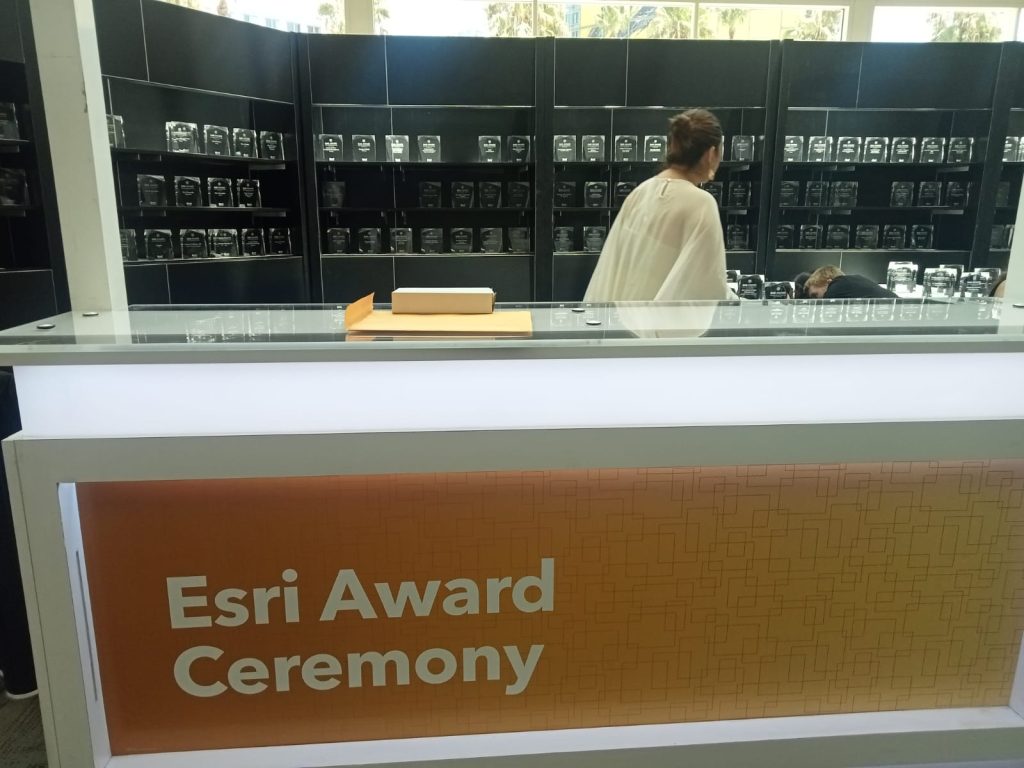
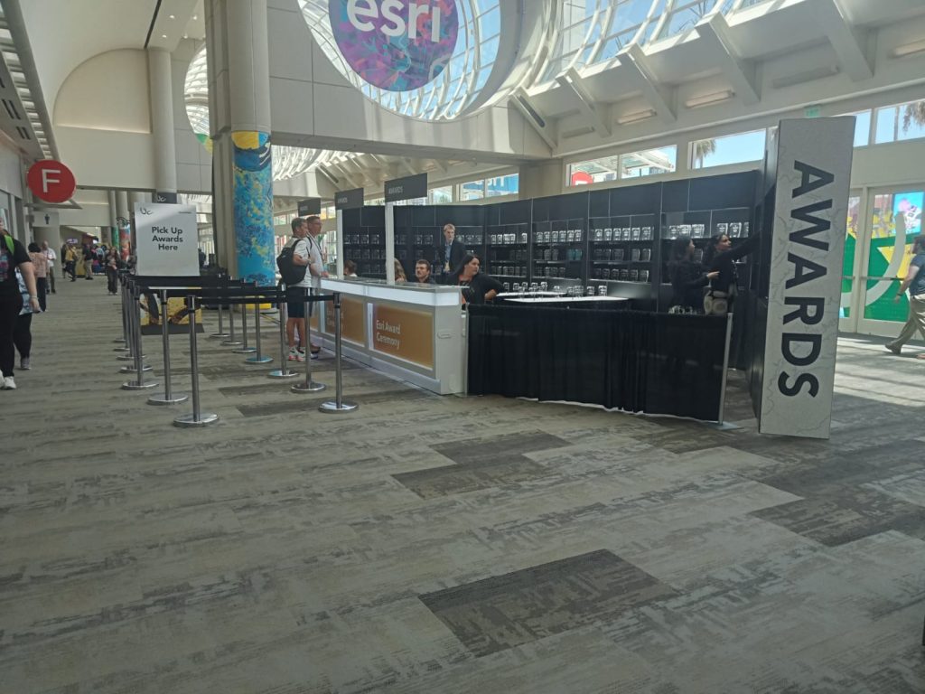
Photo: The Regional Centre for Mapping of Resources for Development (RCMRD) was honored with the 2026 Special Achievement in GIS (SAG) Award by Esri for its innovative use of geospatial technology to support biodiversity conservation and sustainable development across Eastern and Southern Africa. Courtesy/RCMRD


